GCS REcon Software
GCS Recon is the integrated software solution for autonomous reconnaissance missions with drones.
GCS Recon combines precise mission planning, secure autonomous flight execution and high‑resolution data analysis within a single end‑to‑end workflow.
The solution is built on a seamless two component system: the GCS Recon App for planning and analysis, and the GCS Pilot App for precise execution in the field.
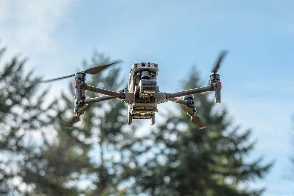
GCS Recon enhances safety, efficiency and data quality, as the drone flies autonomously during the mission and does not require a separate pilot.
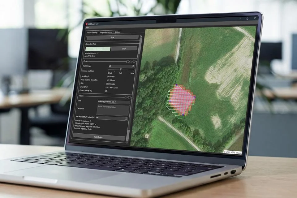
Mission Planning
GCS Recon enables precise mission planning directly on satellite imagery. Operators define inspection areas, flight altitude, camera settings and flight paths with accurate georeferencing.
Automated presets for Ground Sample Distance (GSD) and camera overlap ensure consistent results, while flexible expert options support tailored configurations that form a reliable basis for autonomous flights.
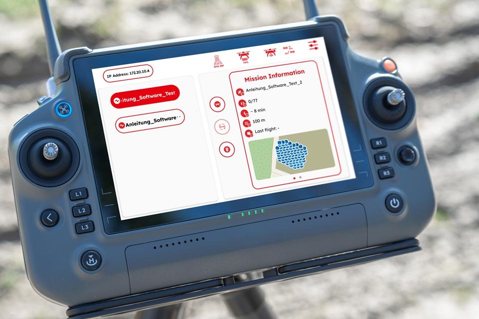
Mission Manager
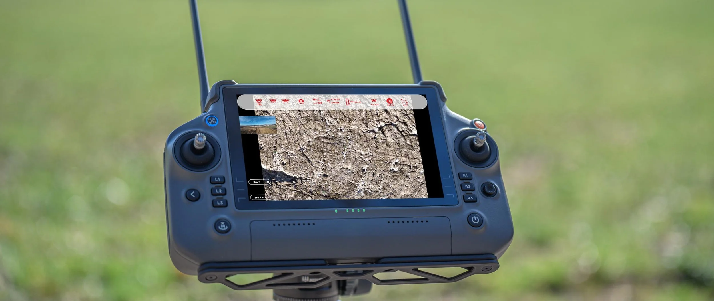
The GCS Pilot App executes missions safely and autonomously. Mission details, waypoints, live flight data and the status of the Real‑Time Kinematic (RTK) service are clearly displayed.
Intelligent obstacle avoidance remains active throughout the mission, while the operator can instantly override automation using the Pause‑button, always ensuring operational safety.
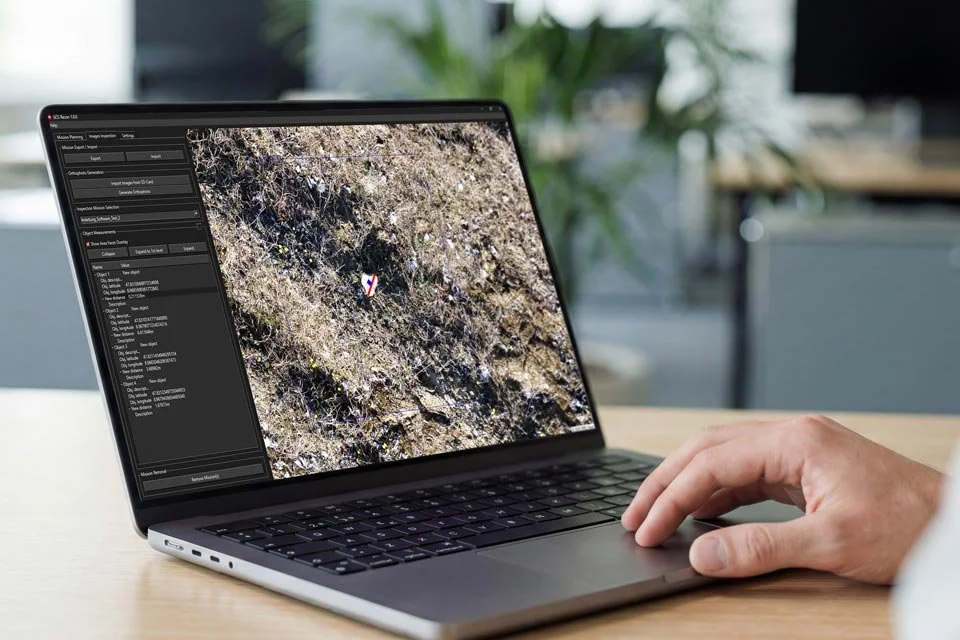
Inspection
GCS Recon automatically generates orthophotos and high resolution imagery ready for inspection. Users can mark, measure and georeference objects using precise distance and area tools.
Combined wide angle and zoom imagery enables detailed assessments and structured documentation, providing a robust foundation for field analysis and threat identification.