Range Clearance
Restoring safe and usable land across contaminated training and impact areas
Unlike routes or defined sites, ranges are characterised by uncertainty. Explosive hazards may be present across large areas, often without predictable patterns or clear boundaries. Items can be deeply buried, fragmented or degraded, complicating detection, investigation and clearance planning. Terrain and environmental conditions further affect access and performance. Soil type, vegetation and ground conditions influence munition penetration, access and detection reliability. As a result, risk cannot be removed through isolated actions or single systems. It must be managed systematically.
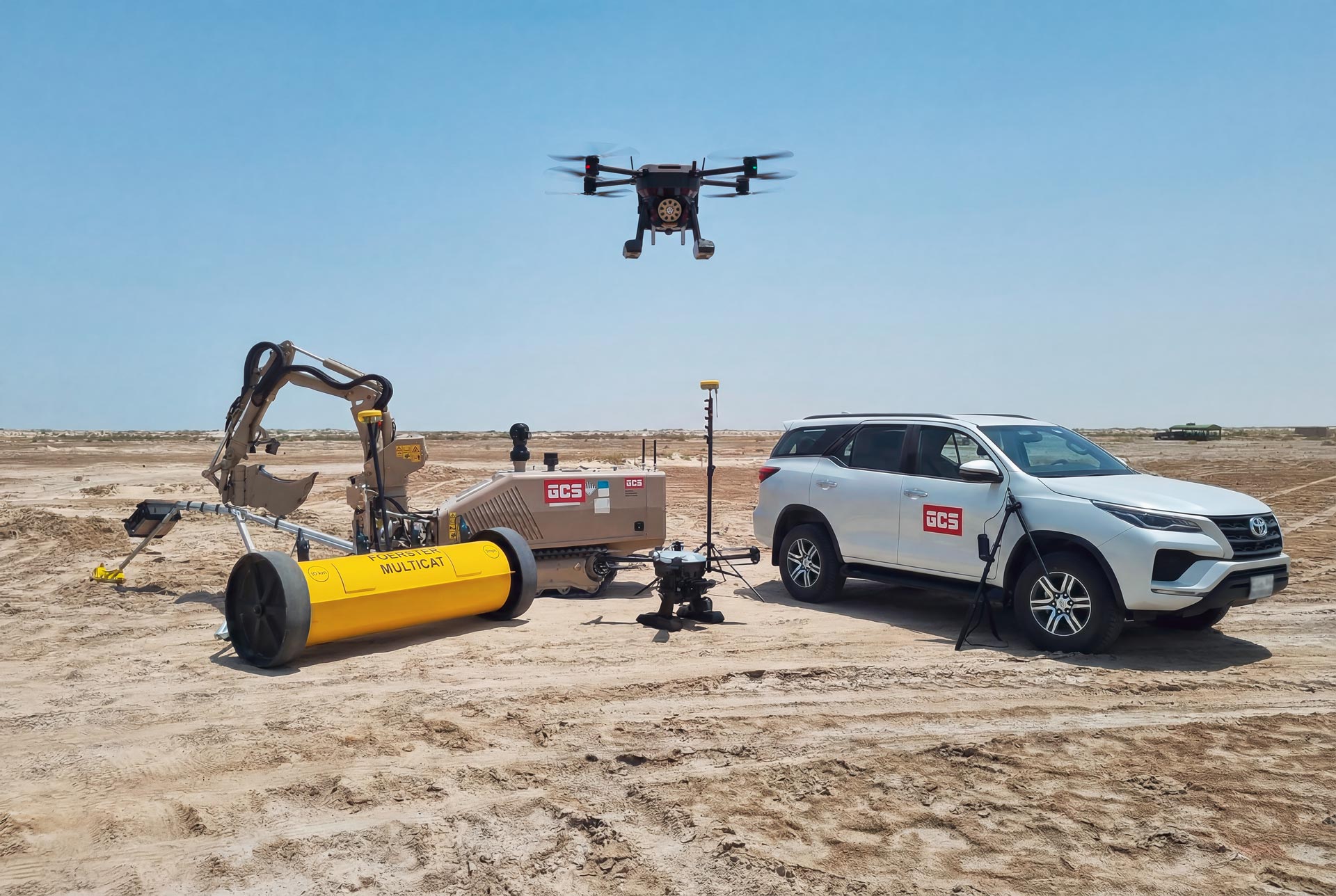
GCS approaches Range Clearance as a structured, lifecycle‑based operation designed to reduce uncertainty in stages and deliver defensible outcomes. The capability is supported through an integrated process combining non-intrusive survey, intrusive survey, clearance and verification. Detection, investigation and disposal-support methods are selected and layered based on hazard type, terrain and access constraints. No single system is relied upon in isolation. This process‑driven approach ensures that effort is applied where it is needed, uncertainty is progressively reduced, and explosive risk is managed in a controlled and documented manner.
Where Range Clearance fits
Range Clearance addresses wide-area contamination where explosive hazards may be present across surface, subsurface and deeper ground layers. It is distinct from Route Clearance, which focuses on defined movement corridors; Urban Clearance, which addresses explosive hazards within built and collapsed environments; and Demining (HMA), which focuses on humanitarian land release where landmine contamination is suspected or confirmed.
GCS Range Clearance solutions support the systematic identification, investigation and clearance of explosive hazards across contaminated training areas and impact areas. At capability level, the approach integrates methods, tools and operational support to manage uncertainty and support the return of usable land in range environments.
Survey‑led risk definition
Survey‑led risk definition
Detection & identification
Layered detection to identify anomalies across surface, subsurface and deeper target zones
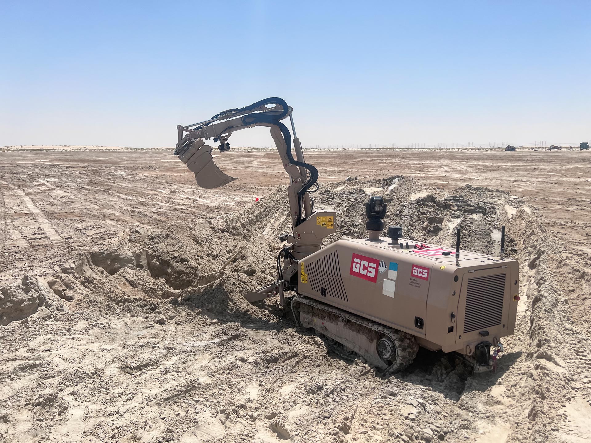
Clearance
Controlled investigation, clearance and disposal-support for confirmed hazards
Quality management & handover
Quality management, documentation and handover support